When haze settles over Sarawak, the number everyone quotes is the API. It is reported as a single figure per station, it decides whether schools send children outside, and it is widely misread as a measure of how thick the smoke looks. It is not. Here is what the reading is built from, and what the state does as it climbs.
One number, five pollutants
The Air Pollutant Index is Malaysia's standard description of ambient air quality. The Department of Environment sets it out as a way of reporting air quality in easily understood ranges of values rather than in raw pollutant concentrations, following the model of the United States Environmental Protection Agency's Pollutant Standard Index.
It is calculated from five pollutants. A sub-index is worked out for each one from its average measured concentration, and — this is the part that is usually missed — the highest of those five sub-indices becomes the API. The published figure is therefore not an average of the air's contents. It is whichever single pollutant is doing worst at that moment, which is why a reading can climb sharply while the sky looks much as it did the day before.
What the bands mean
The index is banded so that it reflects the effect on human health, from good through to hazardous. A reading between 101 and 200 falls in the unhealthy range, as the state government described during the September 2015 episode, when Kuching recorded 164, Sri Aman 177 and Samarahan 184.
The thresholds carry consequences rather than advice alone. In that episode the State Health Department urged children, elderly residents and people with respiratory conditions to wear face masks outdoors, and outdoor activities in schools were suspended in the worst-affected areas. Closures were set to follow if readings passed 200. The haze reached beyond health: flights were delayed and six were diverted to Sibu in a single day because visibility had dropped too far.
Who watches it, and how
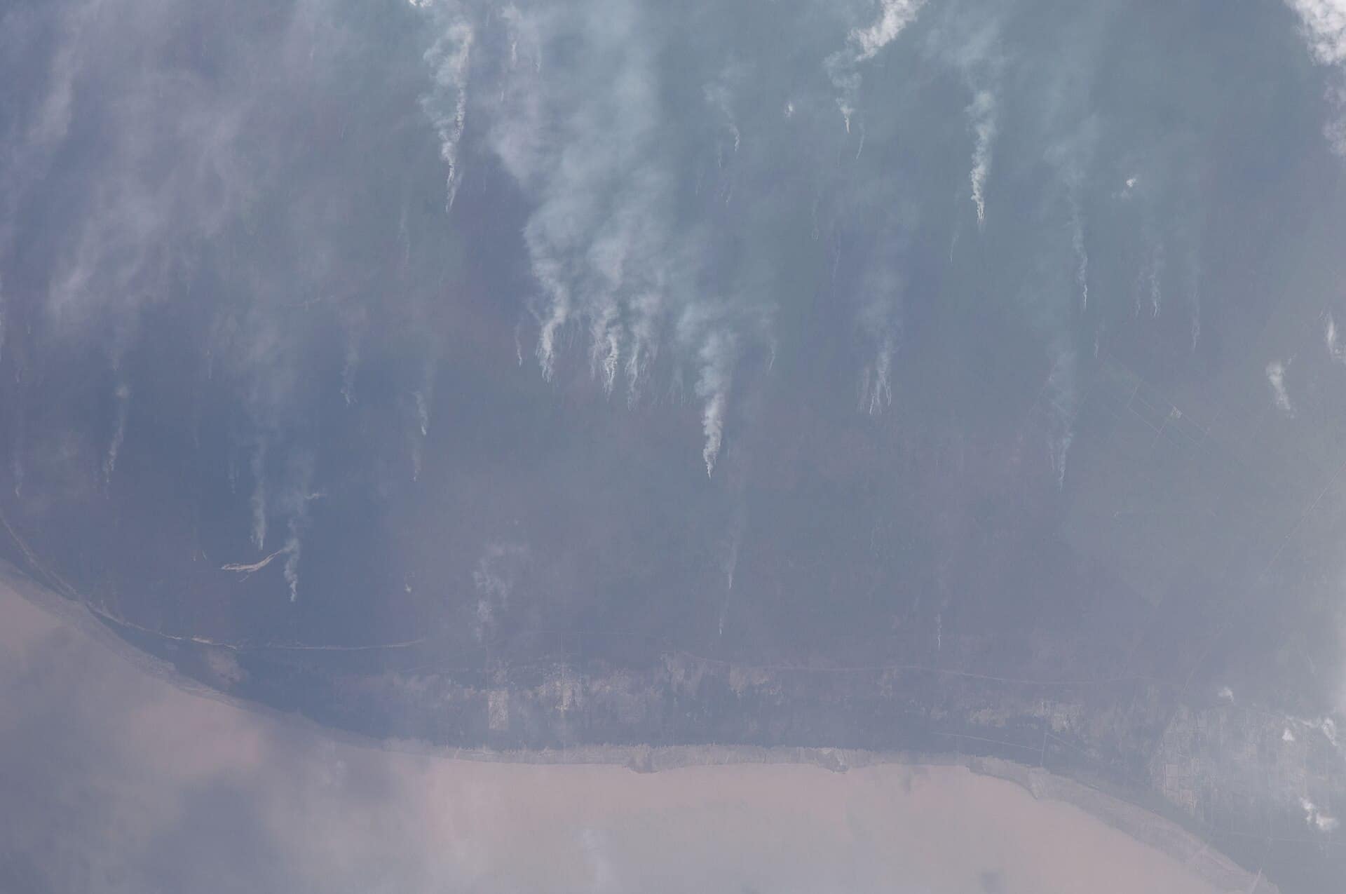
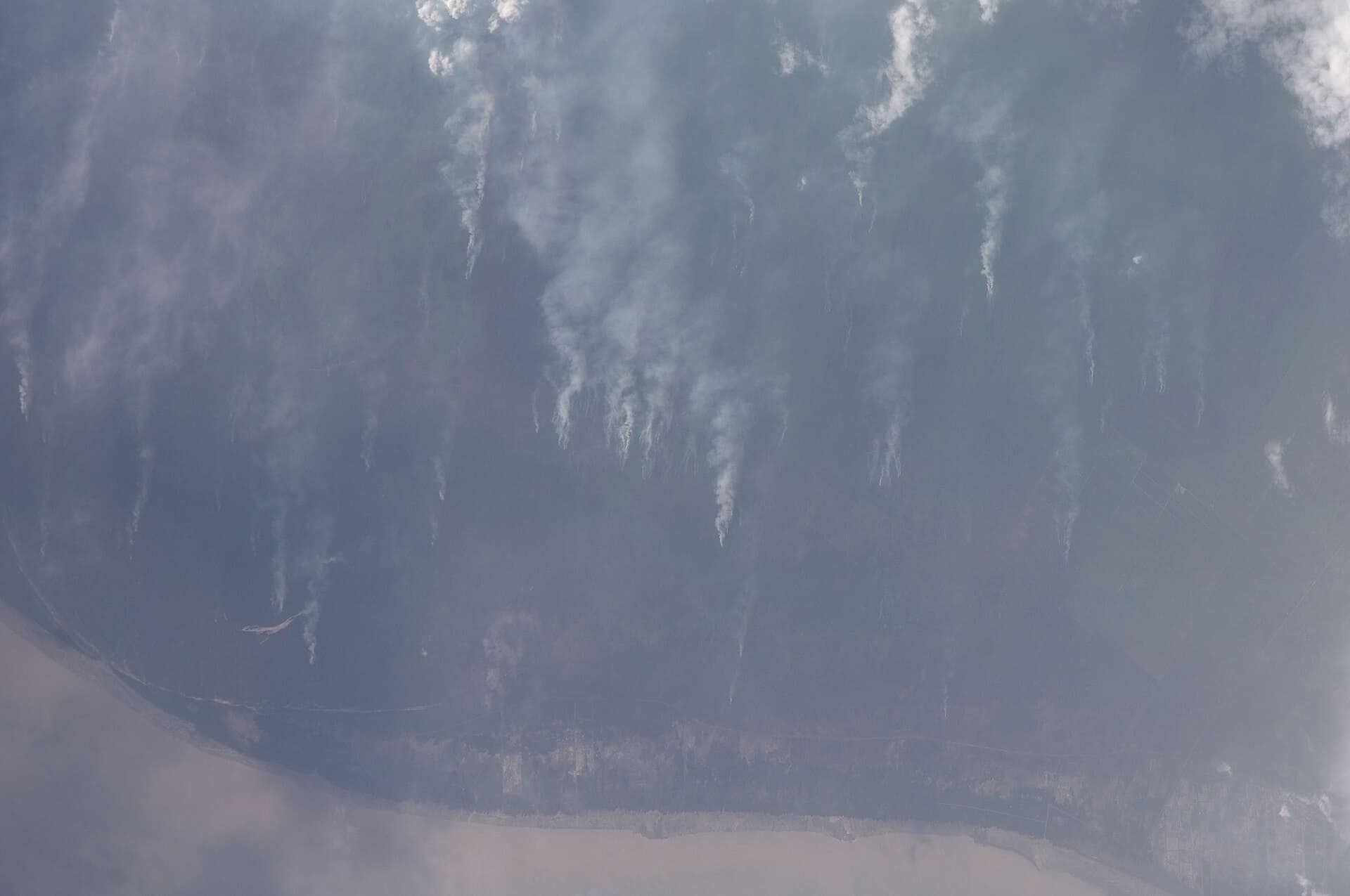
Monitoring in the state falls to the Natural Resources and Environment Board. Its work is not confined to reading instruments: NREB combines patrols and physical monitoring with drone surveillance over agricultural land and peat areas, where fires start and spread out of sight of any road.
The board's own figures show how uneven the picture can be across the state. In the week of 18 to 24 July 2025 it identified Lundu and Tebedu as high-risk districts, with Lundu at 125 while Tebedu sat at 69 — one in the unhealthy band, the other comfortably below it, on the same day in the same division. Readings in the Kuching division are not a proxy for readings in Mukah or Bintulu, and treating a single figure as a state-wide condition is the most common error in reading them.
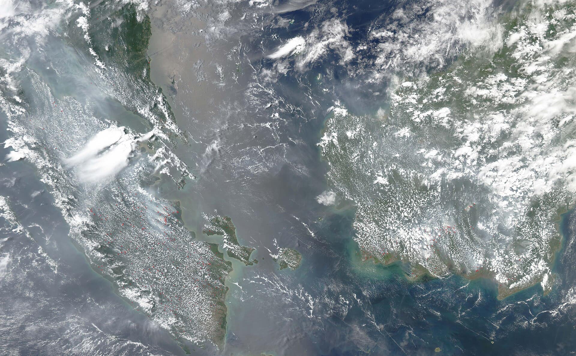
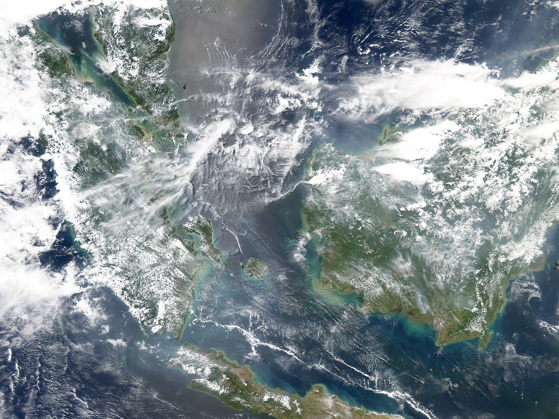
Much of the smoke is not Sarawak's. Over that same week the state counted 62 hotspots against 448 in neighbouring countries, which is why the response is partly diplomatic: Sarawak and West Kalimantan agreed to work together on fires and haze at their 37th joint conference in November 2024.
Reporting a fire
Open burning is the part of the problem that is local and reportable. NREB publishes two numbers for the public to raise a fire or a burn: 082-447488 and 082-319500.
Sources
- (English) Air Pollutant Index (API) - Department of Environment — Department of Environment Malaysia
- The Official Portal of the Sarawak Government — Sarawak Government
- News - Laman Web Jabatan Premier Sarawak — Sarawak Government