Skip to content
National ParksKuching Division

Santubong National Park

The park on the mountain — jungle and summit trails climbing straight off the Damai coast, an hour from Kuching.

By · Editor, I Love Sarawak

Facts checked

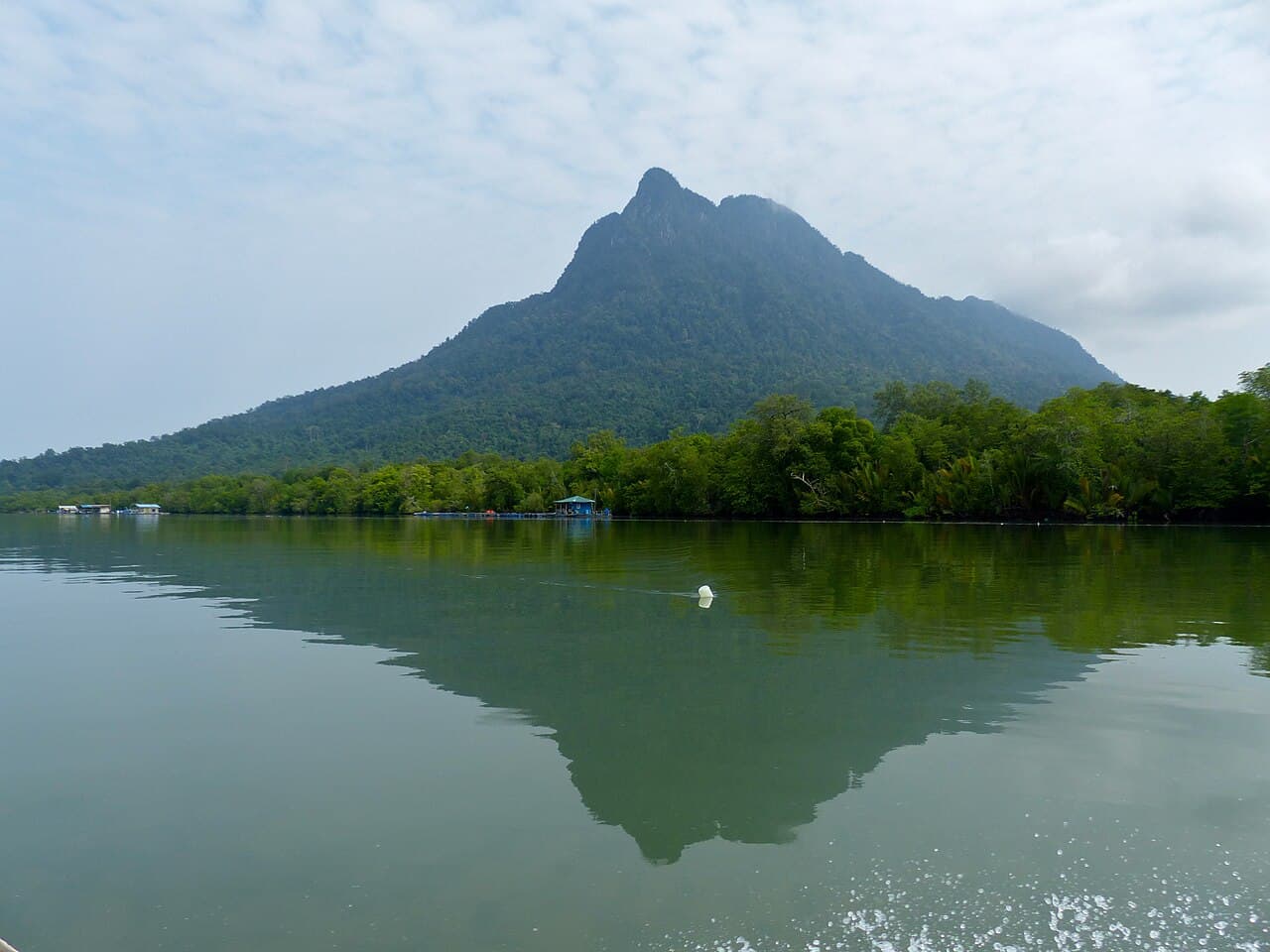
The forested Santubong peninsula rising behind the Santubong River, seen from the water
Photo: Bernard DUPONT (CC BY-SA 2.0)

The place

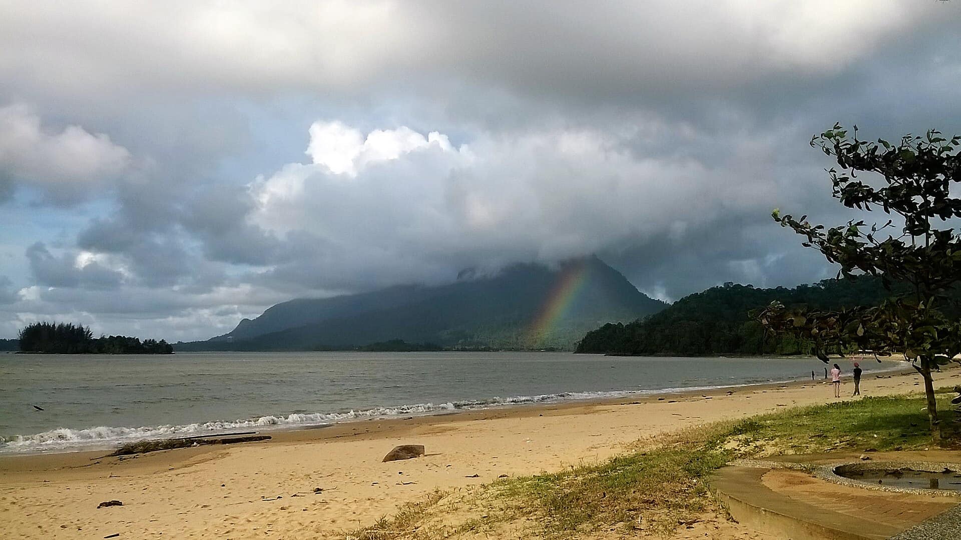
Mount Santubong is the peak everyone in Kuching sees on a clear day; Santubong National Park is the protected forest on it. The two are not the same thing, and the park is the part with the trails.

There are essentially three walks. The Jungle Trail is a level loop through lowland forest, easy and short. The Green Trail climbs to a waterfall. The summit trail is a different proposition entirely — a long, steep haul with rope and ladder sections near the top, usually reckoned at six to eight hours return, and not to be started late in the day. The reward is the whole Kuching delta laid out below.

Highlights

  1. The summit trail, with its rope and ladder sections
  2. The Jungle Trail loop, level and suitable for most walkers
  3. The Green Trail waterfall
  4. Hornbills, macaques and, with luck, silvered langurs in the lower forest

Getting there

Ways to reach Santubong National Park, compared
HowFromTakesCosts
DriveKuchingabout 40 minutesentrance on the Santubong peninsula near Damai; the same road serves the Sarawak Cultural Village and Damai's beaches

The park entrance is on the Santubong peninsula near Damai, about 40 minutes' drive north of Kuching. The same road serves the Sarawak Cultural Village and Damai's beaches.

Good to know

  • Register at the park office before starting the summit trail
  • Start the summit early — the trail is long and the light goes fast
  • The mountain makes its own weather; the rock is slick when wet
  • Combines with Damai, the Cultural Village and a wetlands cruise

Related places